All articles, CKAN, DCAT (Data Catalog Vocabulary), Drupal, Environmental/Climate Change, Geospatial, Government, Higher Education/Research, Open Data
What I learned about Climate Data Portals from an expert integrator
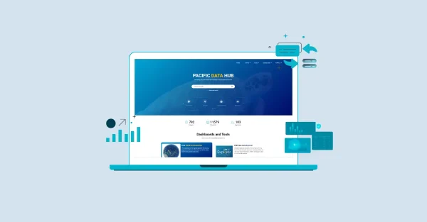
As the climate crisis intensifies, the need for high-quality, accessible data has never been more urgent. Climate data portals serve as centralized repositories where climate-related information can be stored, organized, accessed, and shared across organizations and borders.
Continue Reading